




Post processed kinematic PPK
Post processed kinematic (PPK) is a surveying technology used by drones to correct location data in images captured by global positioning systems (GPS) and other Global Navigation Satellite Systems (GNSS) after it has been collected and uploaded. Another type of correction technology is known as real time kinematic (RTK), which makes real time corrections to images. Both forms of GPS correction technology can be incorporated directly into drone equipment.
PPK and RTK GPS correction technologies are effective at capturing pinpoint location information. They are believed to be improvements over the use of ground control points (GCPs), which is the traditional method for capturing this information. A GCP is a location or object with known coordinates that is used as a reference point for surveying purposes.
[edit] Related articles on Designing Buildings
- Construction drones.
- ConTech.
- Drones as a Service DaaS.
- Drone regulations and safety.
- Global positioning systems and global navigation satellite systems.
- Ground control point GCP.
- How can drones transform construction processes?
- Real time kinematic RTK.
- Uses of drones in construction.
- Using drones for inspection and survey.
Featured articles
Check out some of the best features and news from Designing Buildings as well as key stories from around the web.

Government approach could undermine delivery and regeneration.
World's first mass timber data centre.

The overlooked environmental aspect of data centre development.
Introduction to radon awareness

New technical information sheet published by CIOB.

Updated supplier guide can help electrical contractors engage with NHP.

CIAT confirm the winners of the 2026 architectural technology awards.
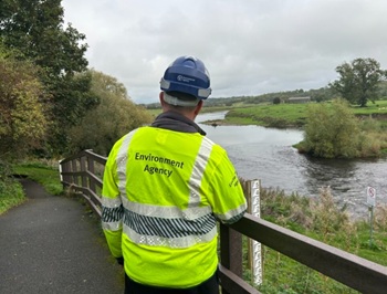
Government launches a one stop shop for flood preparedness.

Sir Edwin Lutyens: Britain's greatest architect? Book review.

CIOB publishes free template to help assess and manage risks.
ECA's reflections on Party Conference season

Burnham wants to be confident of winning before asking for a fresh mandate.
New Chief Construction and Scientific Adviser

Sergio Cavalaro, Professor of Infrastructure Systems at Loughborough University.
Building safety levy for England

CIAT publish estimator tool for members.
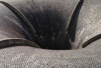
Water sector faces a growing crisis that could slow the delivery of vital infrastructure.